The Easy Option: Juta to the Base of Chaukhi
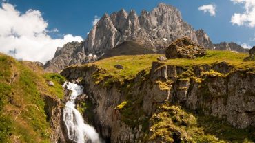
For travellers who want close mountain views without a major pass crossing, the shorter Juta to Chaukhi Hike is the sensible option.
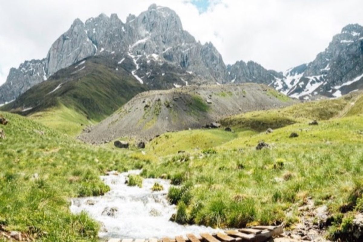
Official information describes an approximately 4-kilometre easy trail from Juta to the base of the Chaukhi Massif, taking about 1.5 hours. The route also passes the small, cold Juta Lake.
You do not need technical climbing skills for this section, but altitude can make the first uphill stretches feel harder than expected. Juta is already above 2,000 metres, so someone arriving directly from Tbilisi may notice the effort more than a traveller who has already spent several days at altitude.
Much of the trail is exposed. In sunshine, shade is limited; when wind comes down from the massif, temperatures can feel noticeably cooler.
The Harder Option: Chaukhi Pass
Continue beyond the lower trail and the Juta to Chaukhi Hike becomes a genuine high-altitude trek.
There is a small discrepancy between official sources about the exact elevation of Chaukhi Pass. Georgia Travel gives 3,338 metres, while a Georgian Protected Areas page lists 3,431 metres. For practical hiking purposes, the important point is that the crossing is well above 3,300 metres.
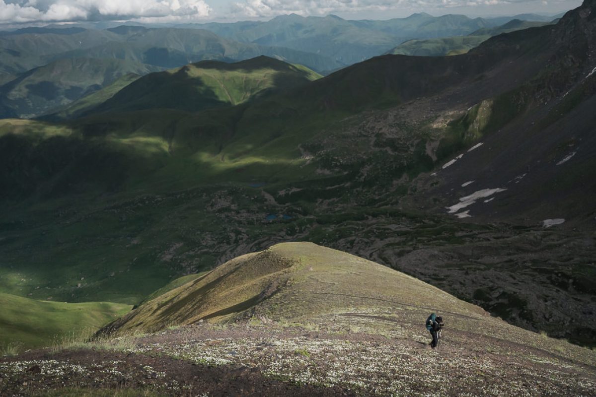
The official Juta–Chaukhi–Abudelauri route gives approximately 9 kilometres from Juta to the pass and around three hours of hiking. It also notes a river crossing on foot and several steep slopes.
The river is not a detail to ignore. After heavy rain or during periods of strong snowmelt, water levels can change. If a crossing does not look safe, do not force it simply because the mapped trail continues on the other side.
What Do You See from Chaukhi Pass?
Once you reach the pass, the landscape changes completely. Kazbegi is behind you and Khevsureti opens on the far side. Below are the Abudelauri Lakes — Green, Blue, and the higher White Lake near the base of the Chaukhi glacier area.
From here, you can return to Juta or descend towards the lakes and continue to Roshka.
If you choose Roshka, treat the hike as a point-to-point mountain trek rather than a casual day walk. Official information describes the longer Juta–Abudelauri option as suitable for experienced hikers and commonly planned over two days.
Best Time for the Juta to Chaukhi Hike
Summer offers the most practical conditions. One official route guide highlights June and July for the Juta–Chaukhi–Abudelauri crossing, while the Protected Areas Agency recommends July to September for hiking through Chaukhi Pass.
The difference is a useful reminder that actual mountain conditions matter more than the calendar. Snow may remain on the pass in June, and early snowfall can arrive in September.
Carry enough water and food, sun protection, a rain shell, a warm layer, and shoes with good grip. The short walk to the massif base can be a relaxed half-day. The full Juta to Chaukhi Hike to the pass is different: altitude, weather, river conditions, and daylight all become part of the planning.





Comment (0)