Why Are the Abudelauri Lakes Different Colours?
The colours of the Abudelauri Lakes are not simply a photographic effect.
Official information explains that the White Lake contains carbonates that give the water its pale, milky appearance. The Blue and Green lakes receive fine sediment produced by glacial erosion; suspended particles interact with sunlight and contribute to their distinctive colours.
The Green and Blue lakes are relatively close together. The White Lake sits higher and requires an additional hike of approximately 1.5 kilometres over rocky ground and glacial debris.
That final section is often slower than expected. Distance alone does not tell the full story: loose rocks, uneven terrain, and altitude reduce walking speed considerably.
Hiking from Roshka
The most straightforward route to the Abudelauri Lakes begins in Roshka.
Official visitor information describes a roughly 7-kilometre trail from Roshka towards the Green and Blue lakes. It can be completed on foot or by horse.
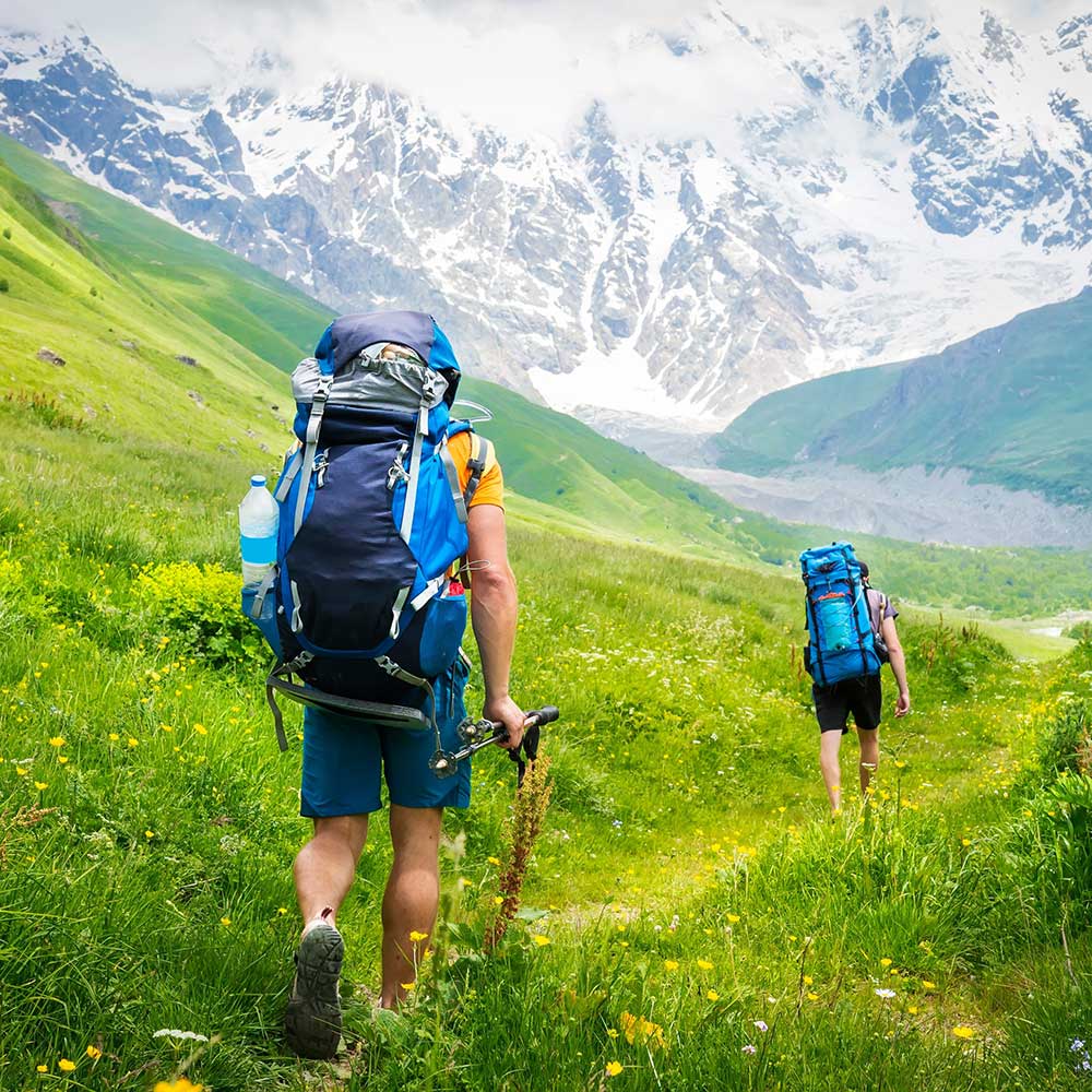
Most of the hike crosses open mountain terrain, so shade is limited. Carry enough water, sun protection, a hat, and shoes with reliable grip.
Reaching only the Green and Blue lakes makes for a manageable hiking day for travellers with reasonable fitness. Adding the White Lake increases both distance and difficulty because the terrain becomes noticeably rougher.
Hiking from Juta via Chaukhi Pass
The second route begins in Juta and crosses Chaukhi Pass before descending into Khevsureti.
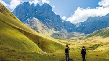
According to the official Juta–Chaukhi–Abudelauri route, the section from Juta to the pass is approximately 9 kilometres and takes around three hours. Hikers must cross a river on foot and climb several steep slopes before reaching the pass. From there, the route descends towards the three lakes.
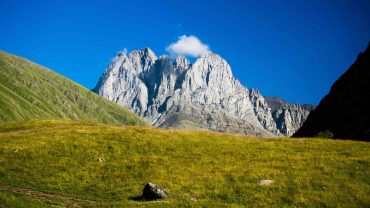
Georgia’s Protected Areas guidance describes the Chaukhi crossing as a moderate mountain route and gives the pass an elevation of around 3,431 metres. It can be completed from Juta to Roshka in one day, although an overnight stop allows more time.
For hikers with limited high-altitude experience, the Roshka approach is the more sensible choice.
Best Time to Visit Abudelauri Lakes
Summer is the practical season for the Abudelauri Lakes. Official tourism information particularly recommends June and July, while protected-area guidance suggests July through September for the high Chaukhi crossing.
Snow often covers the lakes through spring. Another official route description notes that snow can remain until around mid-May, while water levels drop noticeably in August.
For that reason, July is probably the most balanced month: water levels are usually still good, daylight is long, and lingering snow is less likely to interfere with the higher trails.
Mountain weather remains unpredictable. A clear start can turn into rain quickly, so carry a rain layer and a light warm layer even on a sunny morning.
The most useful decision to make before visiting the Abudelauri Lakes is not which lake you want to photograph. It is which route you want to hike. Roshka offers the simpler approach; Juta gives you the full Chaukhi crossing. The destination is the same, but the experience is completely different.




Comment (0)