Ushba Waterfalls — Practical Hiking Guide from Mazeri
March 25, 2026
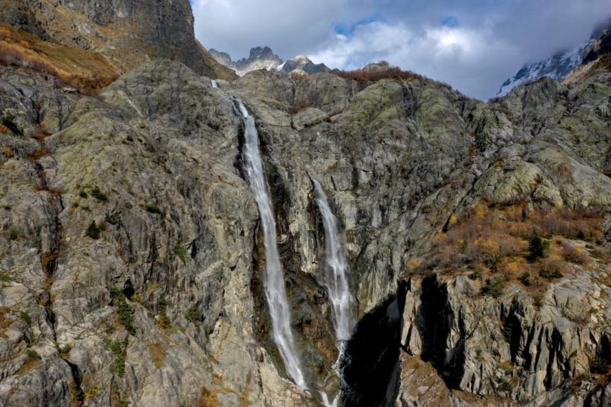
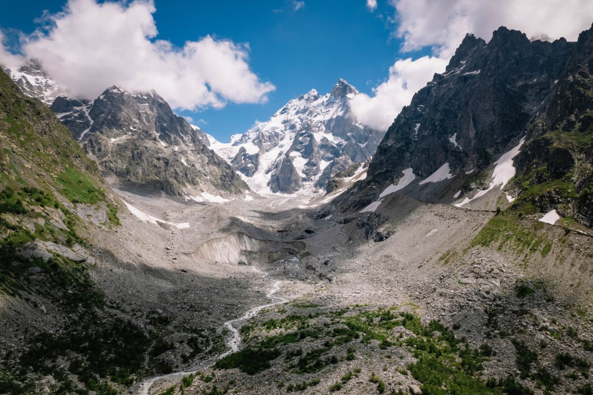
Ushba Waterfalls are located in Svaneti, near Mazeri village in the Becho community. You will also see this place referred to as Shdugra Waterfall. Both names are used for the same hiking direction: the trail leading from Mazeri towards the Ushba massif, passing through valley scenery, forest, river sections, and a glacier-fed waterfall. According to Georgia Travel, Ushba Waterfall is located near Mazeri and receives its water directly from the Ushba Glacier.
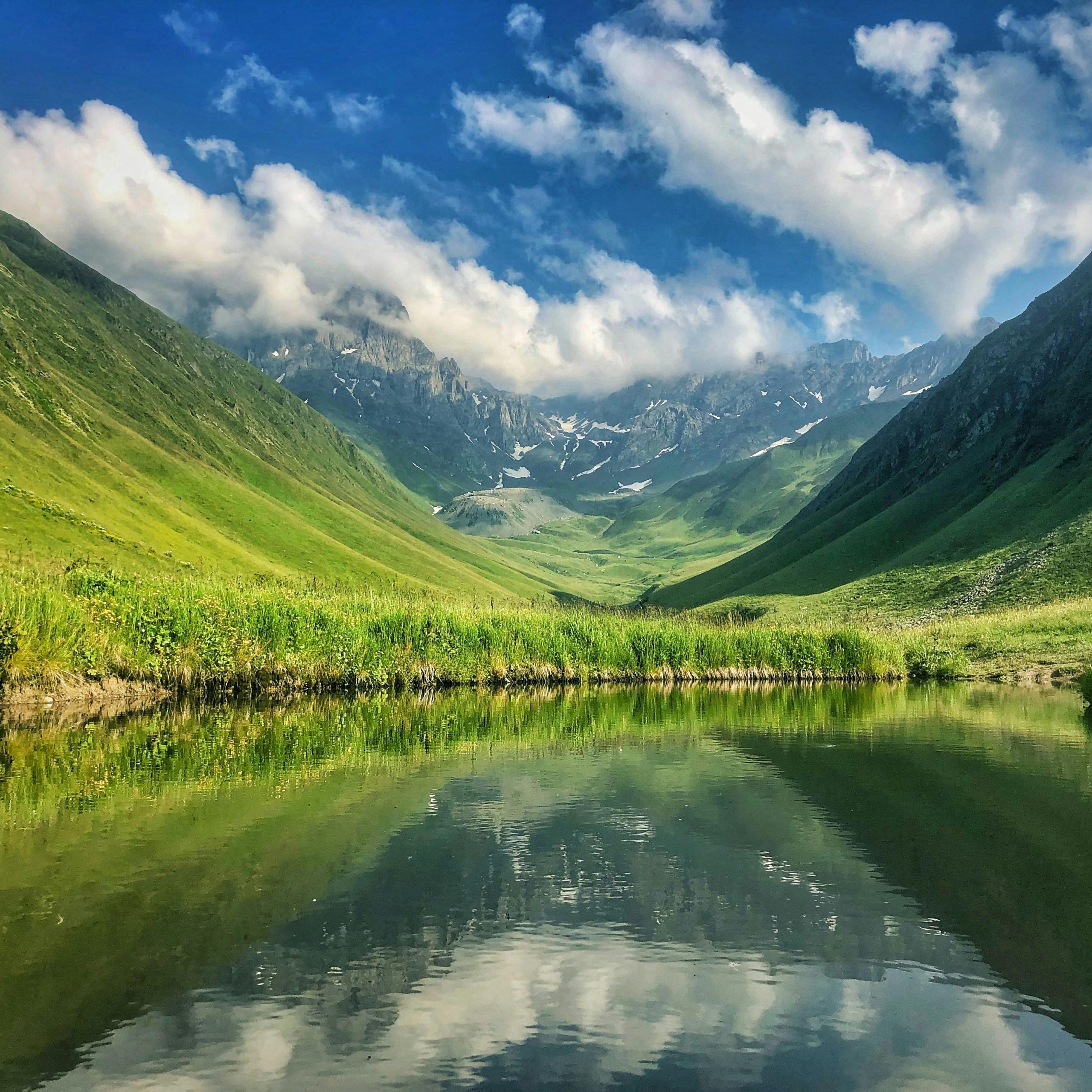
This is not a five-minute roadside stop. Ushba Waterfalls are best understood as a hiking destination. The final cascade is the highlight, but the route itself matters: the open Becho Valley, the rocky walls below Ushba, the sound of running water, and the gradual shift from village landscape to rougher mountain terrain.
Where Are Ushba Waterfalls?
The hike starts from Mazeri village in the Becho community of Mestia Municipality. Georgia Travel states that Mazeri is located at around 1,660 metres above sea level and lies 25 kilometres from Mestia. The walking distance to the foot of Shdugra Waterfall is about 3 kilometres.
The Svaneti Destination Management Organization also identifies Shdugvra, or Ushba Waterfall, as being near Mazeri and notes an important trail detail: hikers need to cross a river during the route. That matters because water level and crossing conditions can vary depending on season and recent weather.
What Is the Trail Like?
Ushba Waterfalls can be treated as a moderate hiking route, but the real difficulty depends heavily on conditions. On a dry day, the trail is much easier to manage. After rain, the ground softens, stones become slippery, and the river crossing can be less comfortable.
This is not a technical mountaineering route, but ordinary city shoes are the wrong choice. Wear closed hiking shoes with reliable grip. Close to the waterfall, expect wet rock, spray, and uneven ground. If you want to approach the lower section of the cascade, move carefully and do not assume that every visible track is safe.
Georgia Travel describes Shdugra Waterfall as approximately 120 metres high and notes that it is considered one of the most water-rich waterfalls in Georgia. Some other travel sources give different height estimates, so the safest phrasing is this: it is a large, powerful, glacier-fed waterfall whose scale is easier to understand on site than in photographs.
Best Time to Visit
Ushba Waterfalls are most practical in the warmer hiking season, when access to Mazeri and movement along the trail are generally easier. In summer, the valley is green, the water volume is strong, and daylight lasts longer. Still, Svaneti weather can change quickly even in July or August.
Start in the morning. You get more time to walk without pressure, and mountain views are often clearer earlier in the day. By afternoon, clouds may gather around the peaks and reduce visibility. Bring water, a rain layer, a light warm layer, and a small snack. Mobile signal in mountain valleys is not something to rely on completely.
Who Is This Hike Best For?
Ushba Waterfalls are a good choice for travellers who want more than a short walk around central Mestia. This route works especially well if you want to see the Ushba massif from close range without committing to a technical alpine objective.
Mazeri is a strong base for this reason. Compared with Mestia, it feels quieter, and the valley opens more directly towards Ushba. If you have several days in Svaneti, give one day to Mazeri and Ushba Waterfalls. It adds useful balance to the trip: Mestia gives you museums and services, Ushguli gives you historic village architecture, and Mazeri gives you a more physical encounter with the mountain landscape.
Do not treat the waterfall as the only point of the day. Stop on the way, look back down the valley, and pay attention to how the terrain changes. In Svaneti, the approach is often as important as the destination.