Nadarbazevi Lake — Practical Travel and Hiking Guide
May 27, 2026
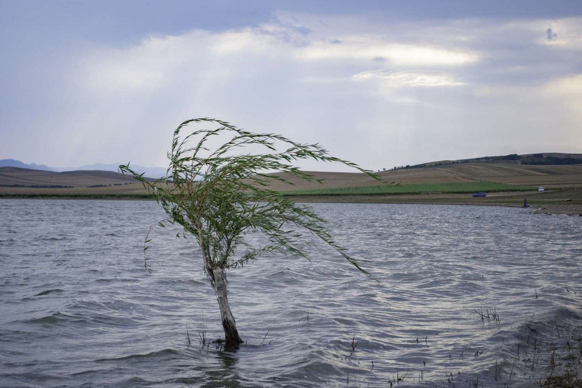
Nadarbazevi Lake is located in Gori Municipality in Georgia’s Shida Kartli region, on the northern slope of the Kvernaki Ridge. Despite its common name, the present body of water is an artificial reservoir created on the site of the former Nadarbazevi Lake. It lies at approximately 856 metres above sea level, covers around 1.18 square kilometres, and has a maximum depth of about 1.8 metres.
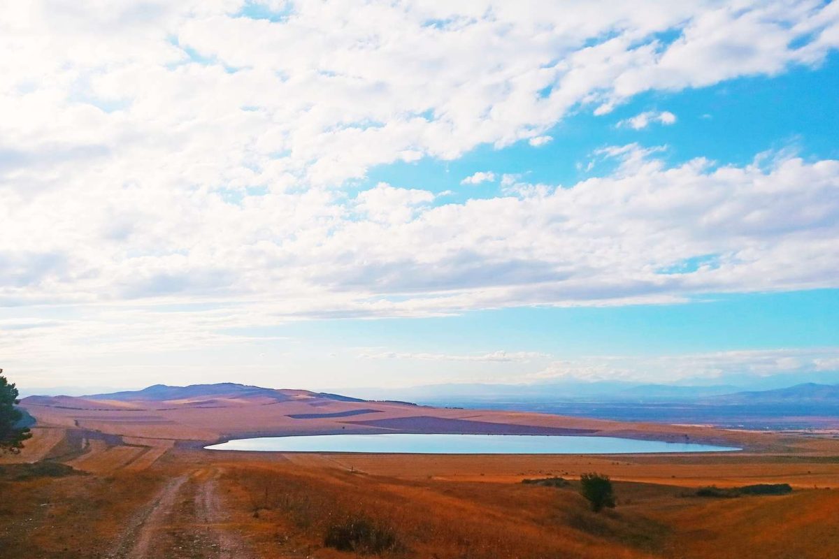
This is not a developed lakeside destination with cafés, promenades, or a line of tourist facilities. The appeal of Nadarbazevi Lake comes from its open geography. Broad fields and the long, low terrain of the Kvernaki Ridge surround the water. Georgia’s official tourism platform includes Nadarbazevi among the natural destinations of the Shida Kartli region.
What to Expect at Nadarbazevi Lake
The first thing you notice is the amount of open space. There is no narrow canyon or dense forest blocking the horizon. The lake sits among rolling fields, and distant terrain remains visible across a wide section of the landscape. Georgian travel sources specifically describe the open fields and distant mountain views around the reservoir.
You can visit Nadarbazevi Lake as a short stop, but the location makes considerably more sense as the starting point for a hike towards Kvernaki Ridge. Existing hiking routes and local tour itineraries combine the lake with the ridge and continue towards the Uplistsikhe area.
This changes the experience. Arrive by car, take a few photographs beside the water, and you may feel that half an hour is enough. Start walking towards the ridge and the lake gradually becomes part of a much larger landscape.
The changing perspective is arguably more interesting than the shoreline itself.
Best Time to Visit Nadarbazevi Lake
The season has a noticeable effect on the appearance of Nadarbazevi Lake because much of the surrounding landscape consists of open fields. Travel photographs show green slopes during the greener part of the year, while drier periods produce brown and ochre tones across the same terrain.
In warm weather, carry water, a hat, and sun protection. If you continue from the lake onto Kvernaki Ridge, do not plan your walk around finding regular shade. This is a practical inference from the open ridge terrain shown and described along the route.
After rain, conditions on unpaved tracks and grassy ground may also be less comfortable. Nadarbazevi Lake is not an urban park with paved paths, so closed shoes with reliable grip are the sensible option, especially if hiking is part of your plan.
How to Plan Your Visit
Nadarbazevi Lake is located in Gori Municipality. Travel mapping sources give its coordinates at approximately 41.99803, 44.28195.
My main practical advice is not to build an entire travel day around simply reaching Nadarbazevi Lake, looking at the water, and driving back. The location works better when combined with Kvernaki Ridge, a hiking route, or Uplistsikhe.
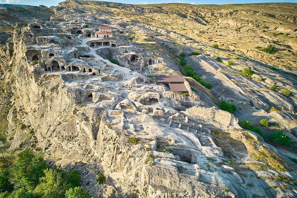
One established local itinerary starts at Nadarbazevi Lake, follows the trails of Kvernaki Ridge through the Zegardi area, and finishes at Uplistsikhe Cave Town.
Bring your own water and food for the walking section. Do not expect extensive tourist infrastructure beside the lake. The character of the location is closer to an open countryside and hiking destination than a conventional recreational lake resort.
Nadarbazevi Lake is particularly suitable for travellers who want to walk in a less heavily visited landscape in central Georgia. There is no single monument or dramatic viewpoint that explains the whole place in one photograph.
The experience is more gradual. You begin beside the water, move onto open terrain, gain perspective on the ridge, and watch the lake change shape behind you as you walk.
That is the best way to understand why Nadarbazevi works better as the beginning of a route than as a quick roadside photo stop.