Why Is Khada Known as the Valley of Sixty Towers?
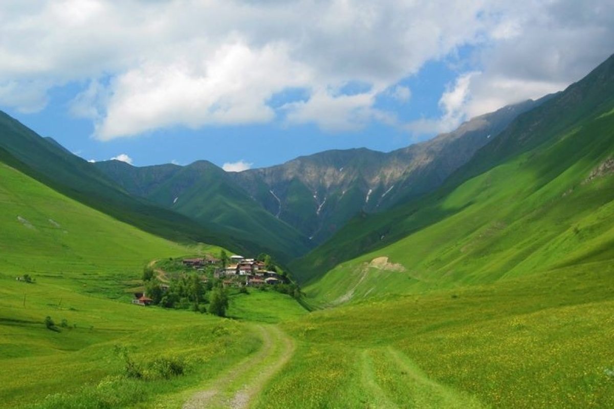
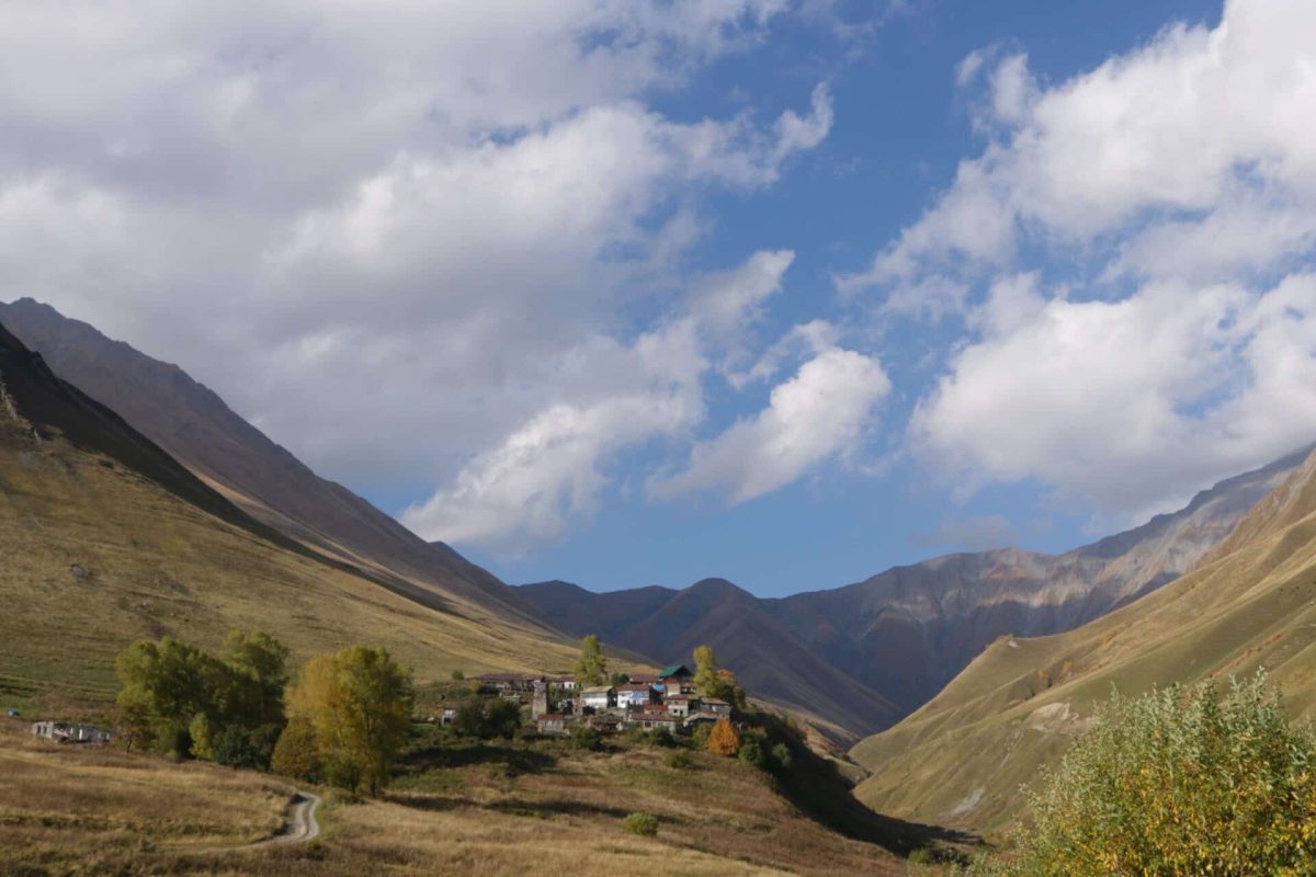
The Georgian historian and geographer Vakhushti Bagrationi described Khada as a rocky place with sixty towers. Georgia’s National Archives also preserves historical references to the valley’s unusually dense network of defensive towers and villages such as Benianbegoni, Rostiani, Mughure, Iukho, and Tskere.
The phrase “sixty towers” should not be understood as sixty perfectly preserved towers standing today. Many have collapsed or survive only in fragments, while others are still clearly visible within abandoned or semi-abandoned settlements.
Historical context makes a major difference here. Without it, some of these structures can look like anonymous stone ruins. Once you understand their defensive function, the relationship between tower, village, slope, and route becomes much easier to read.
What to See in Khada Valley
One important settlement is Korogho, located at approximately 1,895 metres above sea level. Material held by the National Parliamentary Library identifies Korogho as a village in Khada Gorge and notes that, by 2012, it no longer had a permanent population.
Khada’s heritage also includes Korogho Church, Tsetskhlisjvari Fortress, Lomisi Church, and Ghudi Monastery. These monuments show why Khada should not be treated simply as a scenic side valley near Gudauri. Its historical landscape is unusually dense for such a compact mountain area.
What Is Hiking in Khada Valley Like?
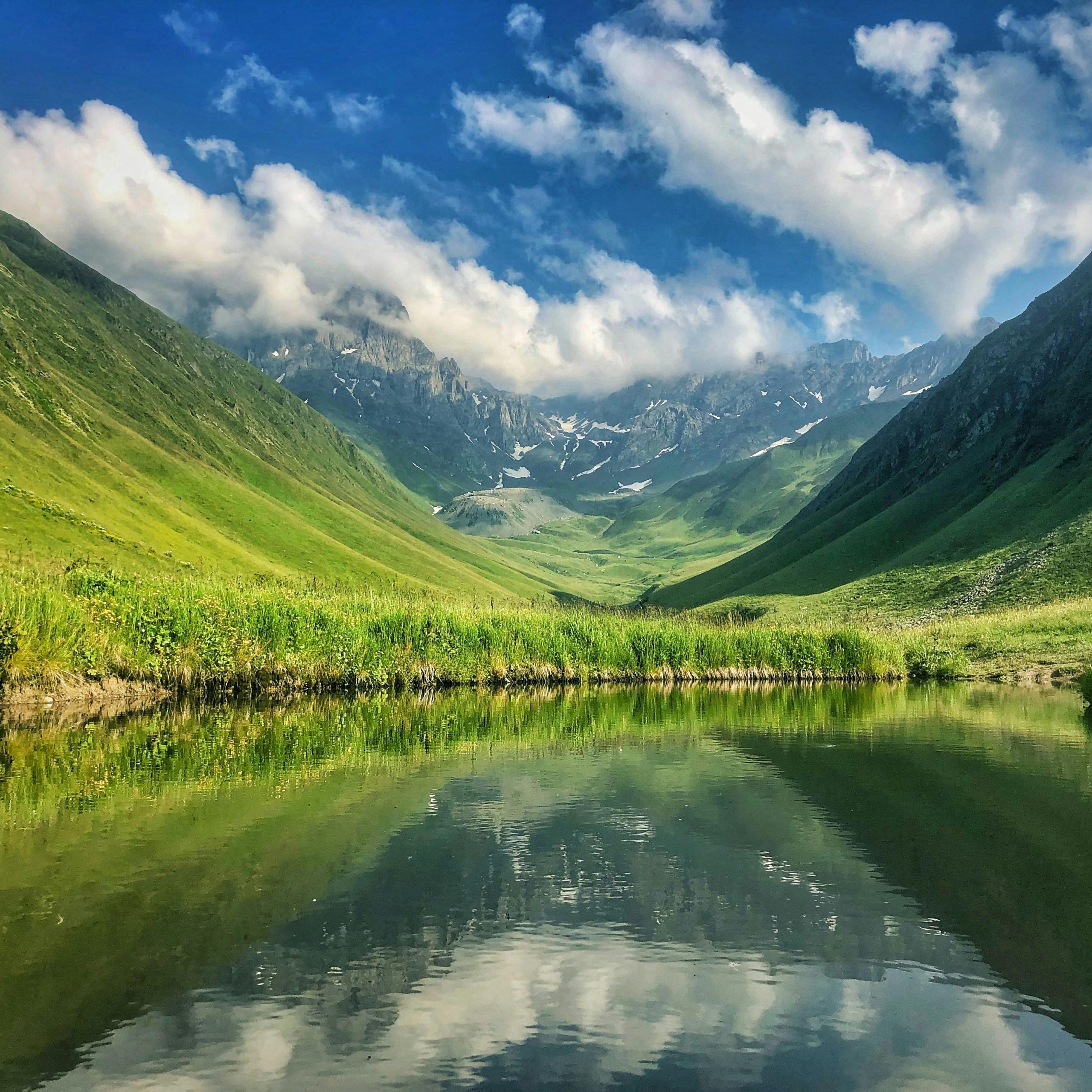
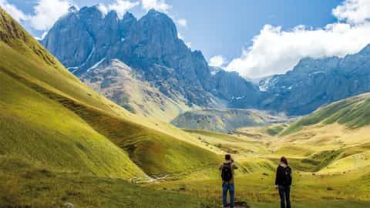
Khada Valley suits travellers who prefer open mountain terrain, historic villages, and quieter routes.
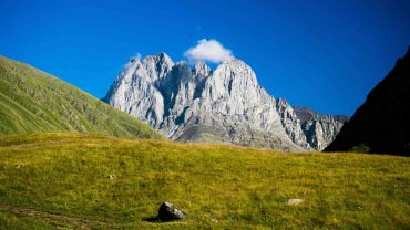
The lower sections are relatively broad, but the valley narrows higher up. Historical geographical descriptions note that vegetation gradually decreases and slopes near Tskere become almost completely bare.
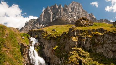
Trail conditions vary. Some sections follow old village tracks or grass paths, while others cross rocky and steeper ground. Closed hiking shoes with good grip are the sensible choice.
Do not expect every route to be formally developed or heavily marked. Carry offline mapping, water, and a rain layer, and avoid relying entirely on mobile reception.
Best Time to Visit Khada Valley
Late spring through early autumn is generally the most practical period. Spring brings greener slopes, summer provides long daylight hours, and early autumn usually still offers reasonable walking conditions.
Being close to Gudauri does not make the weather predictable. Cloud, wind, and rain can move quickly through this high terrain, especially later in the day.
Khada Valley works particularly well for travellers who want something beyond Georgia’s headline attractions. The strongest impression comes from the combination: abandoned settlements, towers, small churches, open slopes, and the visible logic of how people once built and defended communities in difficult mountain geography.



Comment (0)